MapSimplicity
The simple, professional way to enhance Geographic Business Intelligence (GBI) fueling your Decision Making with updated Information, Digital Maps, Images and GeoData along the Americas and The Caribbean.
Geocoding *GeDots
Locate your information on a digital map by using Geocoding. Use your native customer databases and connect to our professional GeDots engine with: Servers, PCs, Tablets or Smart Phones.
Geo CRM
Get to improve the functionality of your company with a complete solution that allows you to understand and retain your customers and manage your business network.
Digital Maps
Worldwide Digital Maps and Detailed Socio Geo Demographics by Country, Region, Block Level, Major Cities and Populated Areas. Available in different formats: KML, Google Earth , Oracle Spatial, ESRI, (SHP), Mapinfo(.Tab) and many others.
3D XYZ Data Maps
Access the highest quality XYZ 3D digital topographic mapping on a large scale and worldwide, derived from high resolution photography with the selection of the most recent and effective sources of cartographic resources; including stereo photogrammetry augmented by contours, streamlines, and surface elevation databases.
LAND USE 2D MAPS
The 20m Region Planner is a medium resolution database for use in Radio Frequency Planning in urban and rural environments. Data layers include a Digital Terrain Model, Clutter, Linear Vectors and Ortho-imagery.
Mapinfo GIS Software
Disponible a partir de Pitney Bowes Software antes conocido como líder de MapInfo Corporation mundo en el Techology SIG: MapInfo Professional, así como los desarrollos personalizados para la plataforma y la arquitectura vinculados a bases de datos locales y de la empresa.
Skyline Globe Enterprise
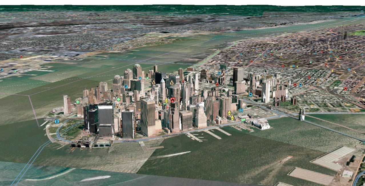
Skyline for Command Control Centers Intelligence and Informatics technologies for local Government requirements, including 3D maps and real time integration of strategic information of all military and police forces involved.
Drones
Geobision has a wide brocure of unmanned drones with applications in different industries: precision agriculture, surveying, mining, communications and media, as well as presenting the process of collecting and processing information for applications in cartography, topography and geography.


